
Enterprise Solutions
GEOSPATIAL INTELLIGENCE
The Common Operating Picture Enabling Geospatial Visualization of Data
GEOSPATIAL INTELLIGENCE
Ingest, combine, correlate and fuse nearly any type of intelligence data, combining static, dynamic, and A.I derived data to generate live and ongoing geospatial fusion of all data available to the platform.
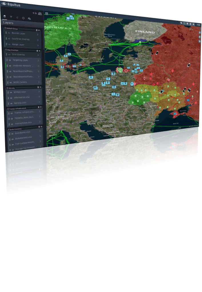
The next Common Operating Picture with the sophisticated technology underneath to merge & visualize information like never before.
- Upload specific maps, utilize specific icon sets, and view various overlays like countries or provinces
- Advanced geospatial tools and analytics
- Visualize both spatial and temporal data
- Information stored as OGC-compliant
- Supports over 200 data formats, including live updates
Benefits
- Use advanced symbology to tell a geographic story
- Provides a customizable advanced map based Common Operating Picture
- Display live updates on your map
- Merge and visualize data to provide enhanced situational awareness